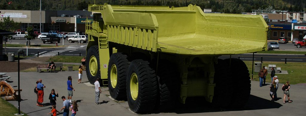
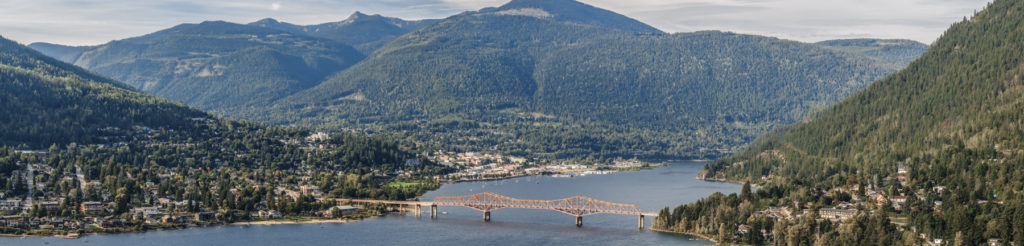
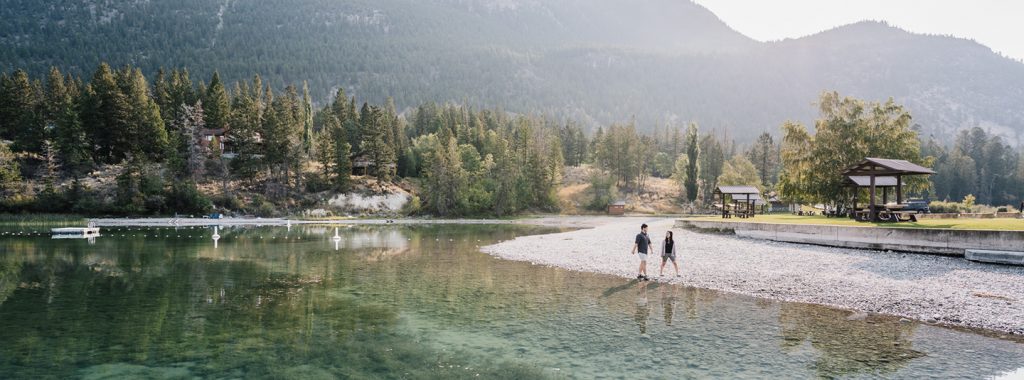
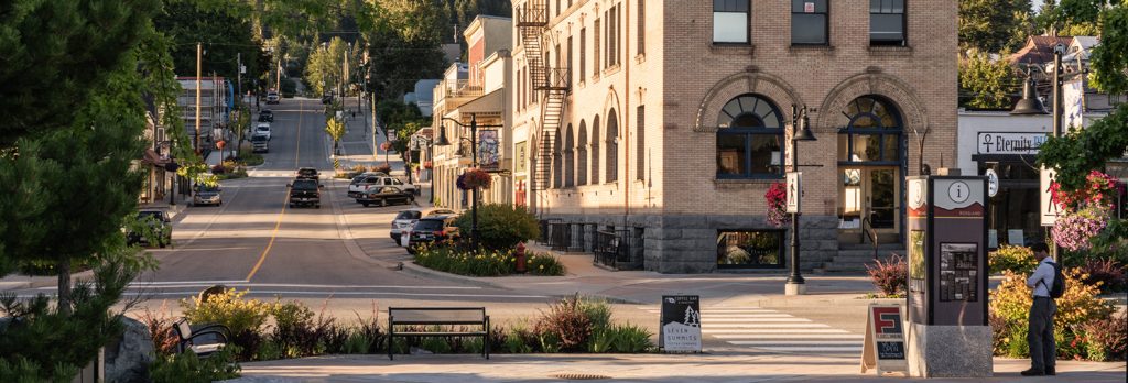
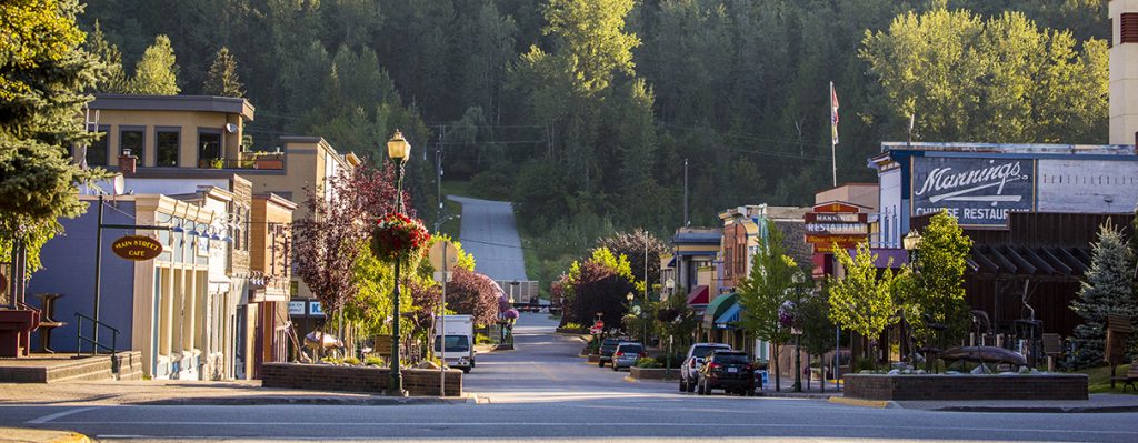
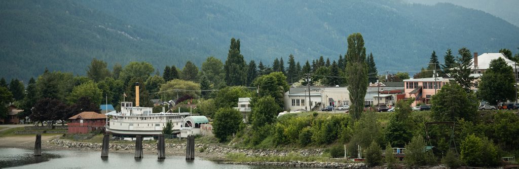
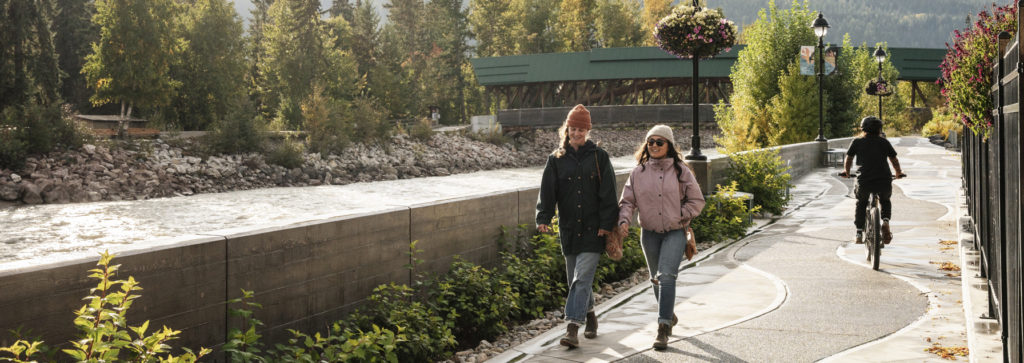
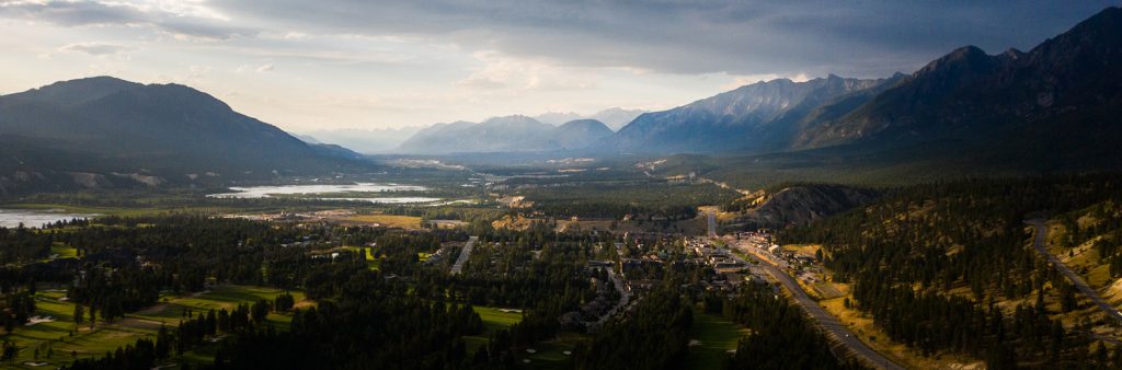
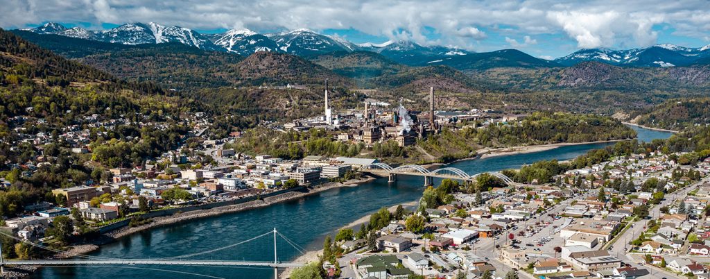
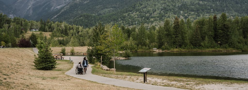
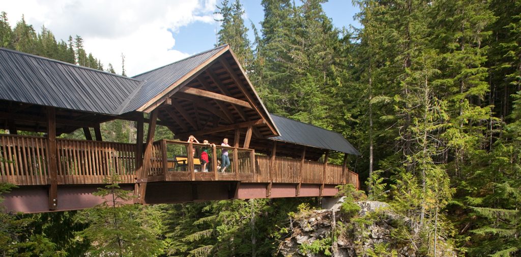
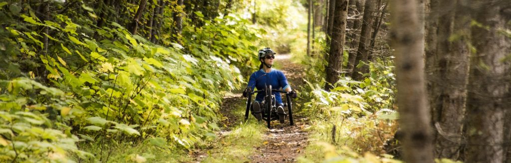
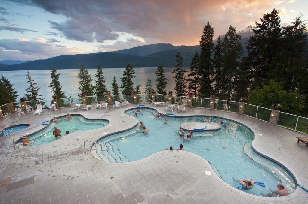
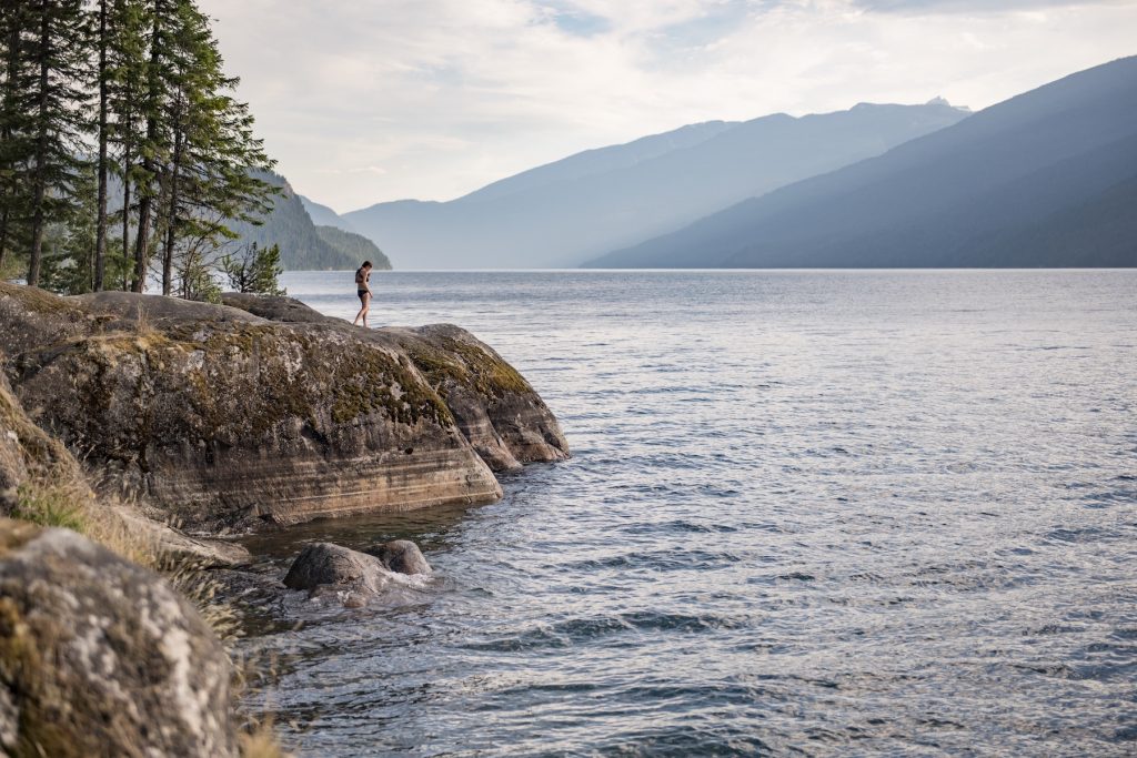
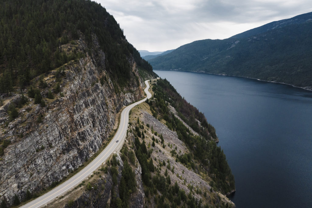
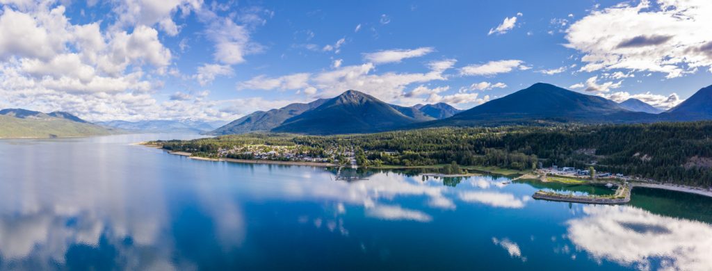
|
||
| Featuring Northeastern Washington and South Central British Columbia | ||
This panoramic tour travels through the United States and Canada linking north-eastern Washington and south-central British Columbia. The international gateway airport is Spokane Washington and the
regional gateway airport is Castlegar, but the tour can begin at any communities along the
loop. |
![]() |
|
| Day 1: Spokane, WA to Kettle Falls (133 kms/80 miles, 2 Hour Drive) Overnight - Kettle Falls, WA From Spokane, begin heading north on Highway #395 toward Colville and Kettle Falls. Colville is the medical, cultural, timber and manufacturing centre for the region. The area's economy is based on timber, agriculture, mining, recreation and tourism. The community also offers many local cultural offerings available include concerts, plays, arts and crafts shows and musicals. The Keller Heritage Center, Museum &
Park showcases the area's history. This museum
contains over 4,000 items of historic interest, depicting the development through the
years of the area. The museum is arranged to tell the story of the area in
chronological order as it was developed, i.e. the Geological History, the Natives
Americans and the Fur Traders of Hudson's Bay Fort Colville. |
||
|
Continue heading north to the community of Kettle Falls. Kettle Falls is located adjacent to Lake Roosevelt, the largest lake in Washington, this area offers visitors and residents alike an abundance of outdoor activities, including fishing, hunting, camping, boating or just taking it easy and exploring the many historic sites in the area. Lake Rossevelt is rich in history, For more than 9000 years, people have gathered along the banks of the river to fish and trade with each other. |
|
From Kettle Falls,
drive west on Hwy #20 through the Colville National Forest, in the direction of
the communities Republic, Wauconda and Tonasket. |
||
Visitors to Republic can see examples of local fossils at the Stonerose Interpretive Center or you may like to bring your own tools and hunt for fossils at the Stonerose Boot Hill fossil site. Scenic Wauconda is central to numerous historic sites located on Hwy #20 and is popular for the oldest event in the area; Flag Day Celebration taking place mid-June. Tonasket, at highway junction #97, is famous for year-round outdoor recreation. The Boneparte Lake and Conconully area, near Tonasket, is a very popular play area for snowmobilers in the winter time. |
|
|
|
||
![]()
|
Osoyoos is Canada's only desert town, with a unique Desert Interpretive Centre to experience this phenomenon. The desert extends past Osoyoos Lake to Vaseaux Lake, and west up the Similkameen Valley towards Keremeos, approximately 24 kilometers (15 miles). Osoyoos is surrounded by an abundance of orchards & vineyards. Most will sell fruit or wine so take a break and stop. The vineyards offer tasting and some of the specialty orchards offer tours as well. |
|
Bridesville was once a railroad hub; honeymooners sometimes stop here to mail their postcards with the 'Bridesville' stamp. Rock Creek, nestled in the Kettle Valley, was once the centre of the gold rush of the 1860s. Nuggets and flakes, along with garnets, can still be panned from the area's creeks and rivers. Points of interest in Midway include the Kettle River Museum, the Entwined Trees Park and the heritage Old Thomet Hotel built in 1900 - now the Kettle River Inn. Greenwood is
a historic mining town with many remnants of days gone by. Visit the
museum, follow the art walk, shop for antiques and enjoy the hospitality. |
||
At the junction of two rivers, Grand Forks takes pride in its mining and Doukhobor heritage, pristine surroundings and outdoor opportunities. The community of Christina Lake is a distance of 20 km (12 mi) from Grand Forks. There's so much to see and do here, you'll be sure to want to stay for a while. Christina Lake is one of the best summer family vacation destinations; it offers everything from the warm swimming lake and sandy beach to awesome mountain biking opportunities on abandoned railbeds, such as the Kettle Valley Railway. |
![]()
|
|
Day 4: Christina Lake, BC to Rossland, BC (137 kms/82 miles, 2 Hour Drive) Overnight - Castlegar, Trail or Rossland From Christina Lake, you'll remain on Hwy
#3 travelling northerly along the Gladston Provincial Park to Castlegar at the
confluence of the Columbia and Kootenay Rivers. This community has a
strong Russian heritage and it be seen at the community's fascinating attractions,
including the Doukhobor Museum
(a reconstructed communal village and museum); Zuckerberg Island (a unique
Russian Orthodox Chapel House located on its own island) and the Castlegar Rail Station
(which has been recently converted to a museum).
Castlegar also offers superb recreation facilities and attractions such as free tours of
the Hugh
Keenlyside Dam. |
||
![]()
|
From Castlegar head south on Highway #3A, to both Trail and Rossland. While visiting the Rossland/Trail area, be sure to include a visit to the Columbia Garden Vineyard & Winery, just south of Trail (Hwy #22A). Winery tours and tasting is available during the summer months. Trail recently celebrated a centennial of history centred on mining, smelting and strong Italian culture. Visit the Teck Cominco Interpretive Centre and Art Gallery & Theatre. |
|
Further along south on Hwy #22 is Rossland, the century-old alpine mining town. Its fascinating history can be experienced with an underground tour of the famous LeRoi Gold Mine or by taking part in the annual summer event Gold Fever Follies. Today, Rossland is famous for its Red Resort and as Canada's Mountain Biking Capital.
Day
5: It's an approximate 10 km/6 mi drive to the Canadian/U.S. border at
Paterson. Your drive south will take you along Hwy #25 to Northport and
back to Kettle Falls.
Just south of Northport is the China
Bend Winery. Stop in for lunch or a winery Tour and
Tasting, their 'living winery' produces only organic grapes for their wine products. |
||
|
Additional Information |
||
| Accommodation | ||