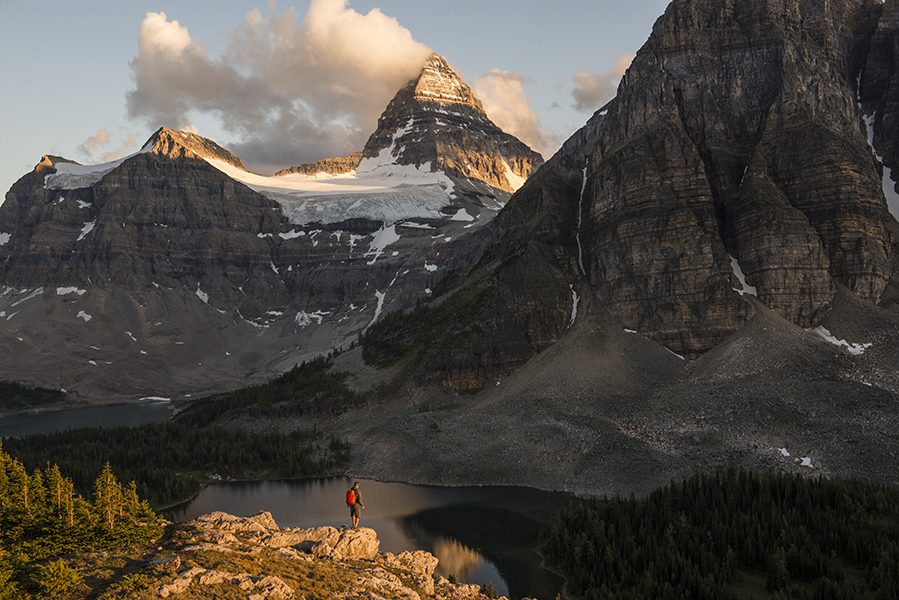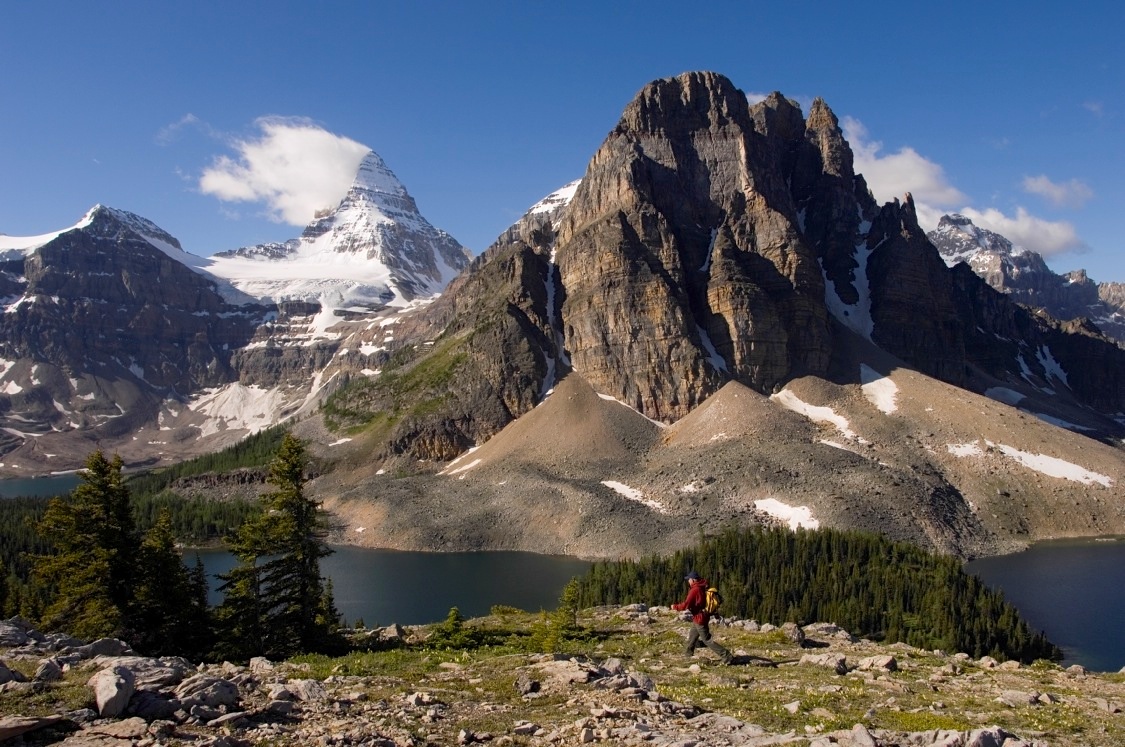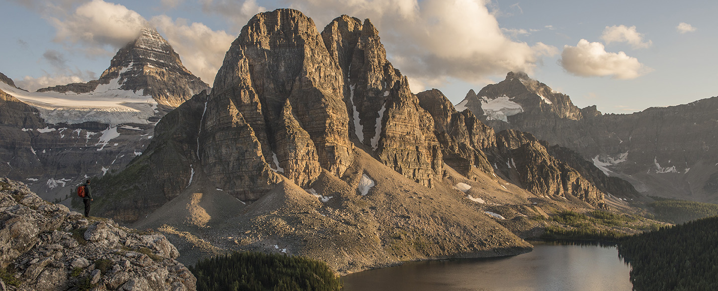
At 3,618 metres (11,939 ft), Mount Assiniboine bears a striking resemblance to the Matterhorn in Switzerland. Upon the urging of the Alpine Club of Canada, British Columbia set aside 5,120 hectares of the area on February 6, 1922 as Mount Assiniboine Provincial Park. In 1973, the park was increased seven-fold to its present size of 38,600 hectares.
Wilderness scenery in the park is as beautiful as any in the Canadian Rockies – jagged peaks, shimmering lakes, glistening glaciers and sun-dappled alpine meadows. A score of peaks in the park exceed 2,700 metres (8,910 ft). Mount Assiniboine, Mount Magog, Mount Sturdee, The Marshall and Lunette Peak all touch or exceed 3,100 metres (10,230 ft). No point in the park is below 1,500 metres (4,950 ft).
Lakes dot the park. The largest, Lake Magog, lies at the northern foot of Mount Assiniboine.
No roads penetrate this unspoiled wilderness, with trails providing the only land access. There are about 75 backcountry campsites in the park. BC Parks offers reservable campsites at Magog Lake and Og Lake, and Porcupine Campground near Citadel Pass. First come, first served sites at Mitchell Meadows and Rock Lake near Ferro Pass.
Accommodation available at Assiniboine Lodge.
Recreation includes hiking, fishing, wildlife viewing, horseback riding, climbing and winter recreation.
The park is roughly triangular in shape. Apex of the triangle is at the junction of the boundaries of Banff National Park, which forms the eastern boundary, and Kootenay National Park, which forms the western boundary.
The southern boundary follows the height of land above Daer Creek and Extension Creek from Kootenay National Park to the Mitchell River, then easterly to Banff National Park and the Continental Divide.
W of the BC/AB border
, BC