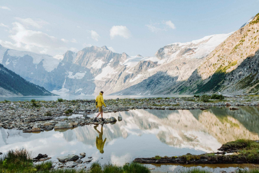
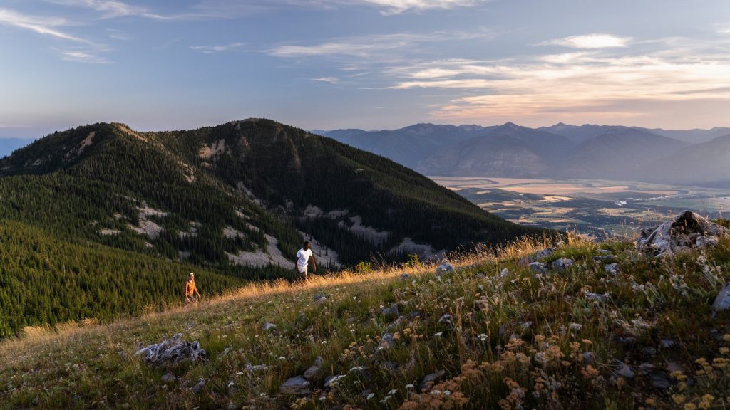
We come by our beauty naturally with BIG mountains – the Canadian Rockies, Purcells, Selkirks and the Monashees and vast valleys in-between these ancient mountain ranges, within the Birthplace of Adventure.
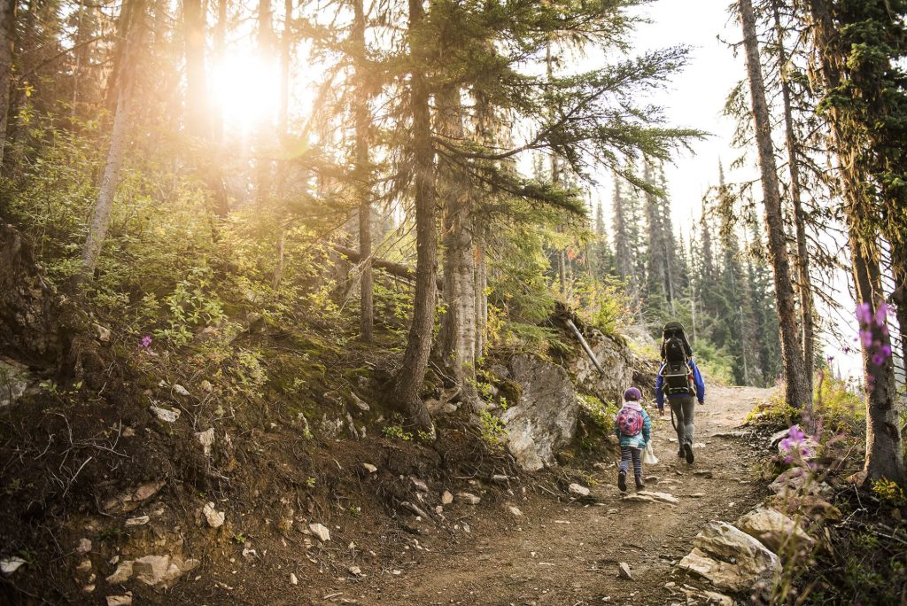
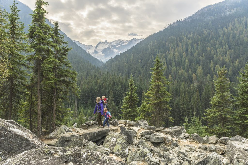
Whether you stay for just one night (or a week) on a Kootenay road trip — you can literally begin exploring “out your back door” during your stay. Breathtaking views can easily be experienced by all.
Here are some of the most iconic, photogenic spots (that are a easy to moderate trek) in the Kootenays:
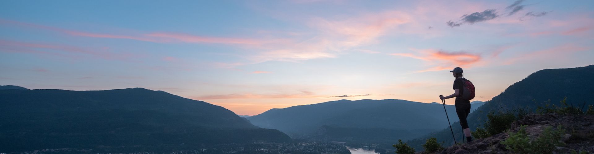
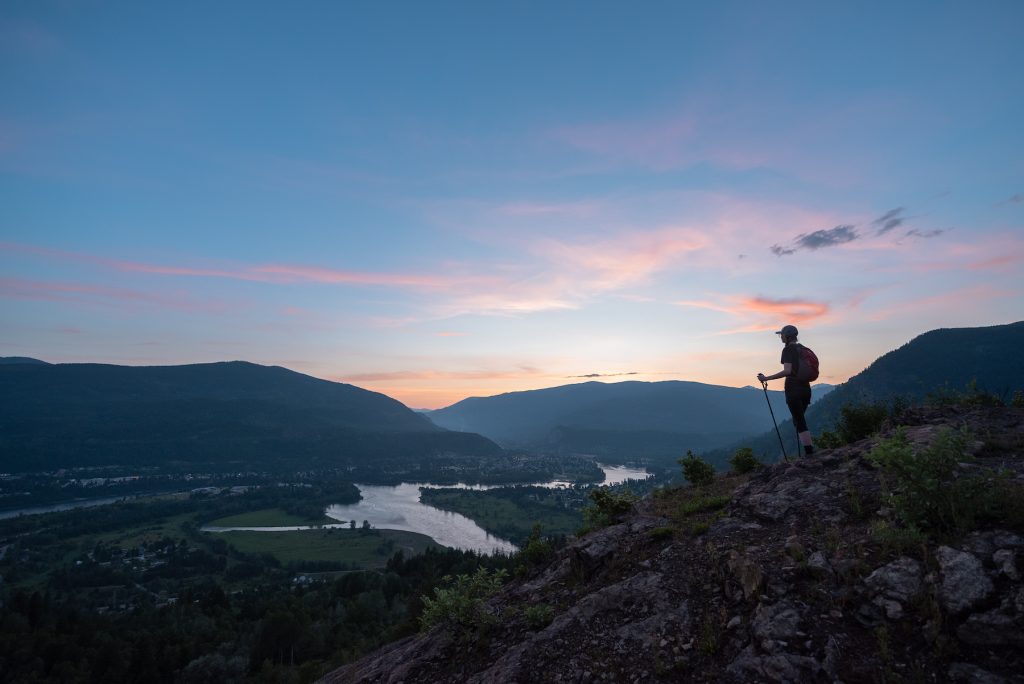
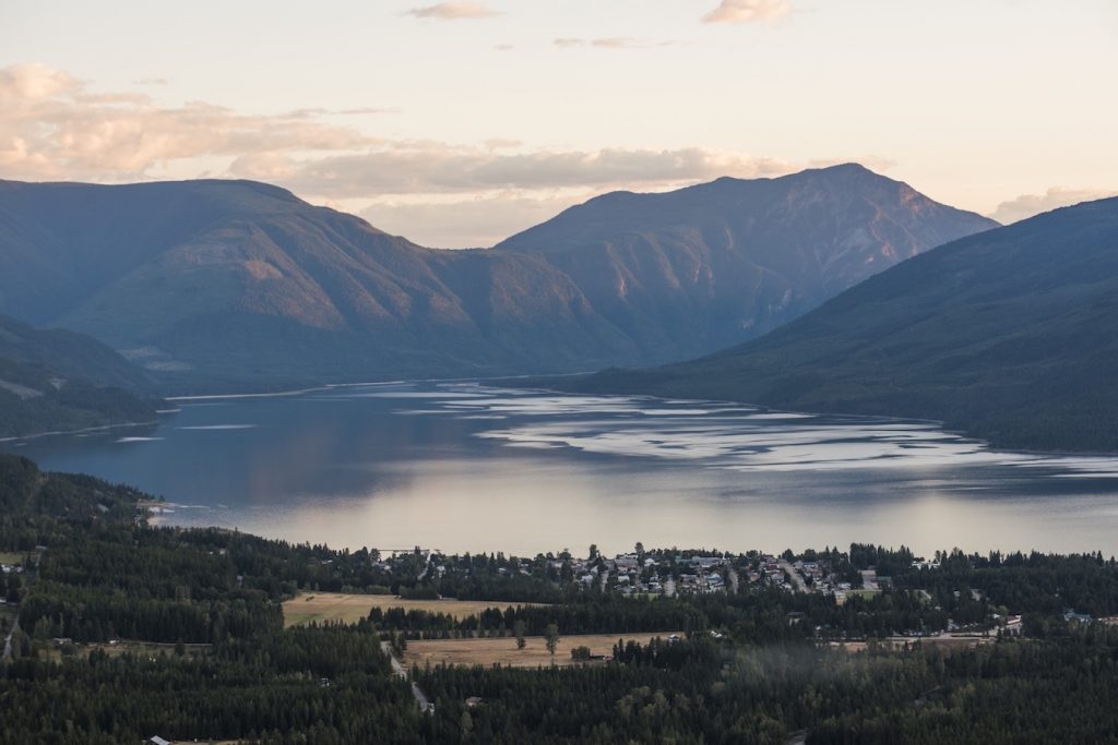
Castlegar – Dove Hill
Trail: Easy/Intermediate; 1.5-km one-way; Hike & Bike
The Dove Hill trail-head can be accessed from the Castlegar Golf Course Road, just past the Golf Course fence gate. The trail ascends up the west and south faces of Dove Hill. There are several benches along the way for you to stop and rest. Near the top of the hill, the trail splits in two directions, leading to two separate viewpoints (Dove Hill & Surrey Hill).
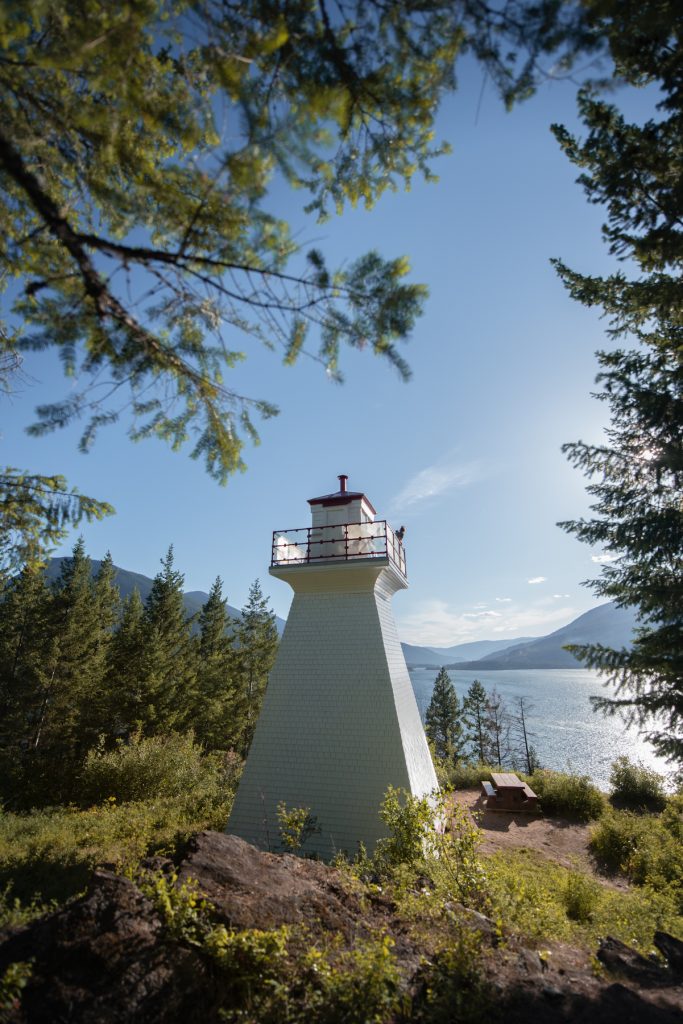
Kootenay Bay – Pilot Bay Provincial Park
Trail: Easy; 0.5-km one-way; Hike
There is an extensive network of hiking trails throughout the Pilot Bay Provincial Park and along the Pilot Peninsula. It is an easy walk to the historic Pilot Bay lighthouse which has been restored by area volunteer groups.
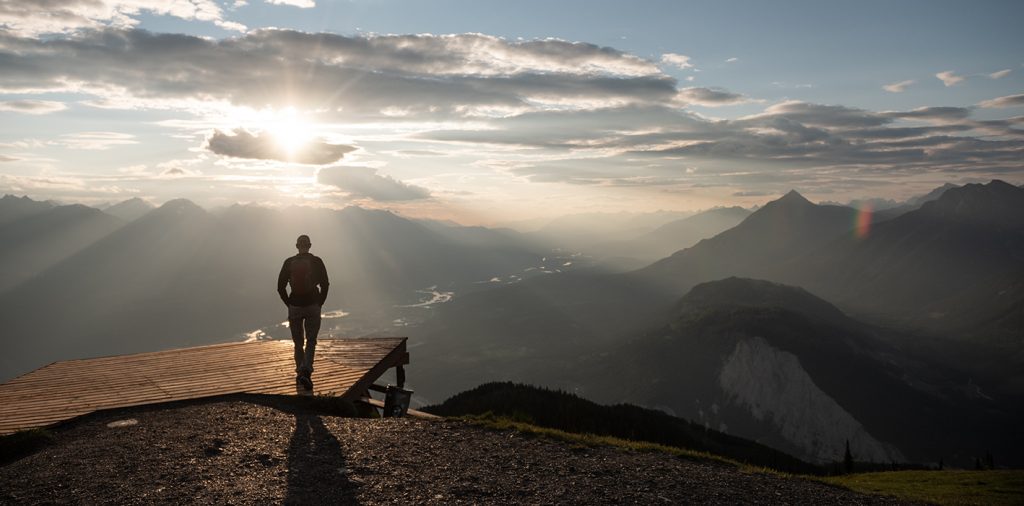
Creston – Mt. Thompson Rim Trail
Trail: Moderate; 7.4-km round trip; Hike
Views are expansive on both sides, stretching from the southern tip of Kootenay Lake to the north, and well past the US border to the south. It’s as close to an aerial view of the Creston Valley as you can find without knowing a pilot – and you didn’t even have to hike up a mountain. After hiking for a couple hours or so you’ll get to the trail end which is another tower. From here you can look down on the Skimmerhorn and get a totally different perspective of the bumps and cliffs along its ridgeline.
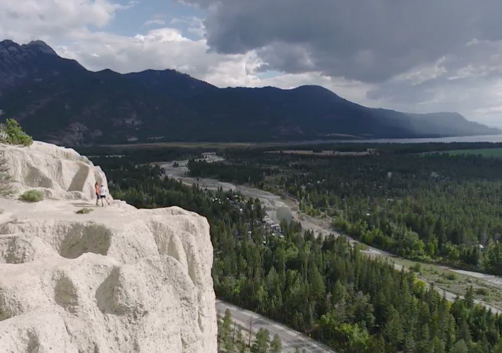
Fairmont Hot Springs – Hoodoo Trail
Trail: Easy; 1.5-km one-way; Hike
Enroute to Fairmont Hot Springs, you turn left off the highway (highway 93/95) near the Dutch Creek Service Station onto the Westside Road. Follow it to the Hood Trail parking area. Getting to the sandstone cliffs is an easy (mind your children as the trail drops down sharply in various areas). Once you reach the viewpoint — the views of the Rockies, Purcells and Columbia Lake are stunning. (Accessible in the winter months too.)
Fernie – Morrissey Ridge
Trail: Easy; less than 0.5-km; Hike
By far one of the highest and best viewpoints of the Elk Valley. It is primarily accessed by driving a high clearance vehicle to the summit. An amazing place to watch the sunset or stay the night for a stunning sunrise.
Golden – Mount 7
Trail: Easy; less than 0.5-km; Hike, Bike & Para-glide/Hang-glide
You can either drive up the Mount 7 Forest Service Road, as majority of downhill specialists do, or ride your cross-country mountain bike the entire 14-km to the Mount 7 Lookout. It is very rewarding and the views of the Rockies, Purcells and Columbia Wetlands are incredible.
Invermere/Radium Hot Springs – Mt. Swansea
Trail: Easy; less than 0.5-km one-way; Hike, Bike & Para glide/Hang-glide
The gravel forest service road reaches the top (1,727-m) at the parking area. From the parking area it’s a 15-minute trek to the summit. A network of trails are also available. Some are single use, while others are shared between hikers and mountain bikers. The best views of the Columbia Valley & Purcell Mountains is to the left when you come to a fork in the trail (keeping to the west ridge).
Kalso – Mt. Buchanan
Trail: Easy; 1.0-km one-way; Hike
The Buchanan Lookout is an old fire tower. Today it is a day-use rec site with picnic tables and a 2-km trail around the top. The 12-km access road is gravel and high-clearance vehicles are a must to access the viewpoint.
Kimberley/Cranbrook – The Wycliffe Buttes
Trail: Easy/Moderate; 2.0-km one-way; Hike
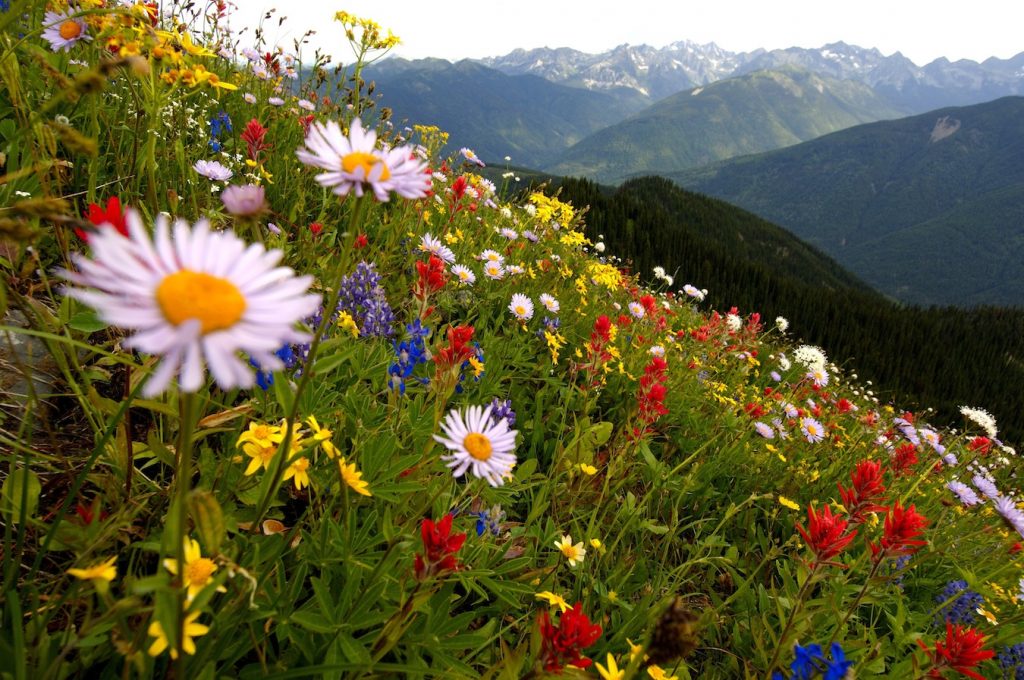
Located 14-kms south of Kimberley, enroute to Cranbrook (highway 95A) you’ll each the small rural area of Wycliffe. The first Butte trail is a short, steep trek that brings you to the top of a pine spotted butte. The butte overlook bunchgrass covered prairies and reveals stunning views of the Canadian Rockies (including Fisher Peak and the Steeples). Throughout the season, you can track the progression of wildflowers, spring time crocuses & balsamroot and purple lupins in the summer. (Accessible in the winter months too.)
Nakusp – Vicky’s View
Trail: Easy; 0.5-km one-way; Hike
Offering spectacular views of the village of Nakusp, the Arrow Lake and the Monashee Mountains, this trail is accessible mostly by a gravel road. From the 4-way stoplight in downtown Nakusp, drive north on Hwy 23 for 2.5-km. Turn right on to the Hot Springs Road. Drive 3.6-km up the Hot Springs Road. Turn left onto the Kuskanax Mountain Road (gravel). Then, drive (or hike) 1.5 km-up the Kuskanax Mountain Road and you will find Vicky’s View on your left.
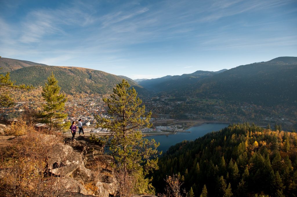
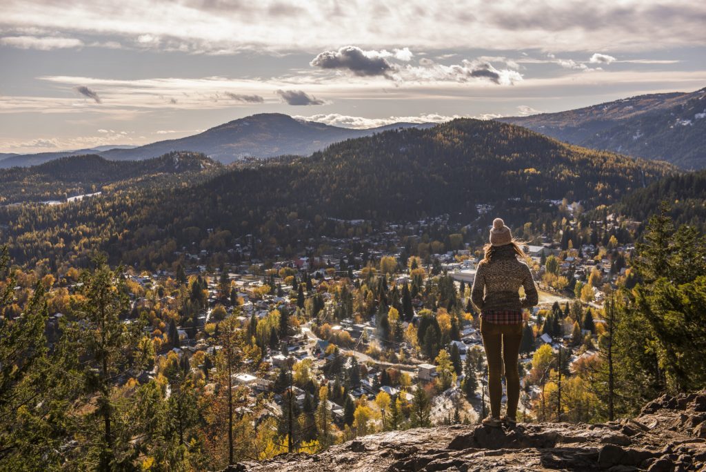
Nelson – Pulpit Rock
Trail: Moderate/Steep; 1.5-km one-way & 3.0-km one-way to the flagpole; Hike
Pulpit Rock is one of the most popular Nelson hikes. The trail offers a solid workout over switchbacks, ending in a scenic view scape of the funky community of Nelson. Hiking further to Flagpole, rewards you with an even bigger panoramic views of Kootenay Lake and Selkirk Mountains above this community (it’s worth the extra effort if you have the time).
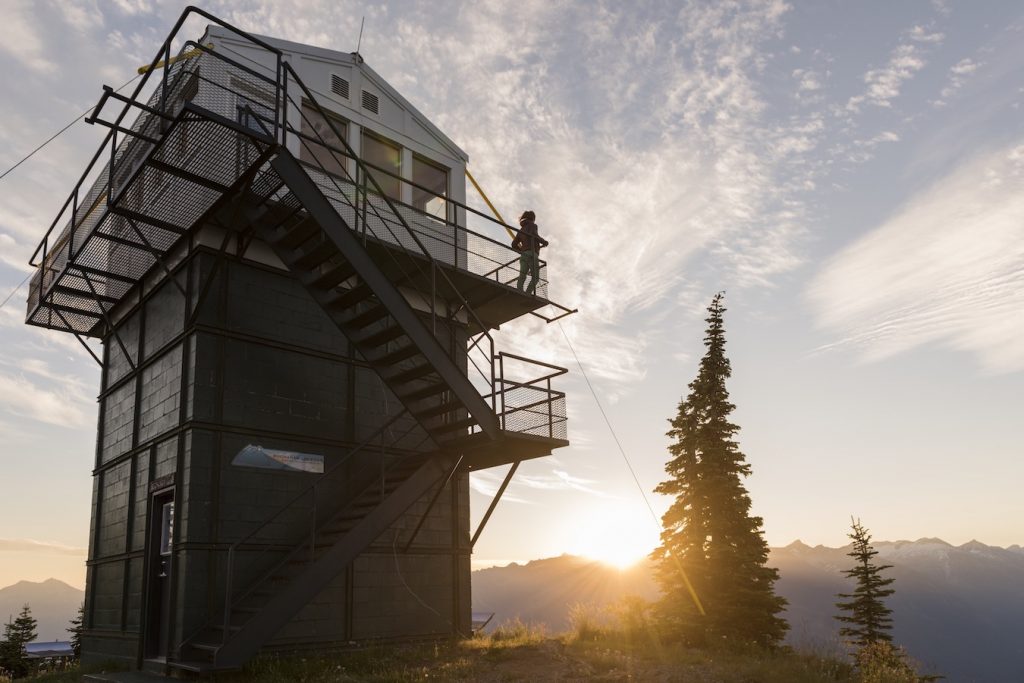
Revelstoke – Mt. Revelstoke ‘Meadows in the Sky Parkway’
Accessible by a paved road (26-km) it leads to a 2,223-m. summit of Mount Revelstoke. There are three lookouts with views of the City of Revelstoke, the Selkirk & Monashee Mountains and the Columbia River Valley.
Another easy hike is the Fire-tower Trail that leads to a historic fire tower lookout. You can’t go inside the tower, but from the platform around it there are beautiful views of the Columbia River Valley. Allow about 30 minutes return trip.
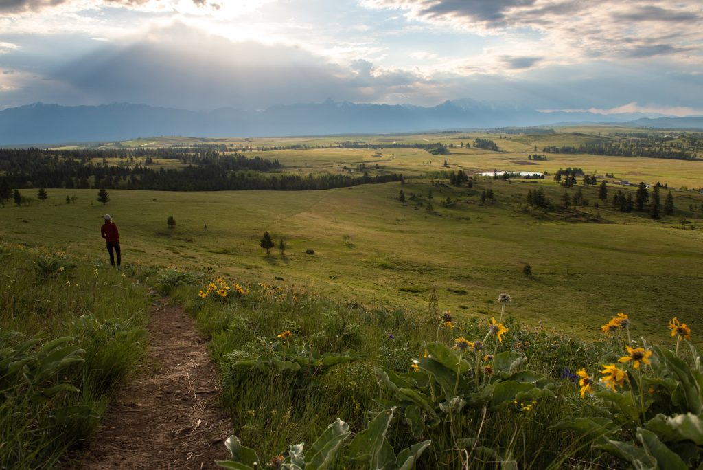
Rossland – Kootenay Columbia (KC) Summit
Hike: Easy/Moderate; 2.0-km one-way; Hike & Bike
You’ll be in the trees until you reach the summit of this trek. Here you’ll be rewarded by scenic views of Rossland and the surrounding valley. Enjoy the lilies, lupins and Indian paintbrush wildflowers when they are in season.
Slocan Lake Rest Stop
Hike: Easy; less than 0.5-km; Hike
Near the community of New Denver is a rest stop that is “worthy” of getting out and stretching your legs. The views of Slocan Lake are astounding!
Or, hop on and off of the Slocan Valley Rail Trail that connects South Slocan and Slocan. The winding trail, gently passes through one of the most beautiful river valleys in BC. The easy, non-motorized trail, offers many locations to park (7 trail heads) and explore the 52-km trek. Perfect for adaptive bikes, mountain bikes and those on foot.
Remember your sunhat (toque for unexpected weather changes), closed-toed shoes/boots, sunglasses, lots of water and snacks. And, don’t forget your camera or smart phone to capture the jaw-dropping views.