Flashback to over 135 years ago, when British Columbia’s destiny intertwined with Canada’s, all thanks to the promising allure of a transcontinental railway. The Canadian Pacific Railway linked an instrumental contract in 1880, paving the way for an awe-inspiring railway line, a connective cord tying the east to the west. The pivotal ‘Last Spike’ ceremony placed Craigellachie (west of Revelstoke, BC) in the annals of history at 9:22am on Nov 7, 1885.
The Kootenays’ beating heart was pulsated by this trail line and the subsequent ones (inclusive of the water-lines traversed by majestic sternwheelers). These channels of trade invigorated our communities with goods and people, redefining our paradigm of connectivity and travel. However, the sands of time command change, and by the 1920s, newer modes of transport like buses and cars started challenging the dominance of railway travel. The glory days of passenger railway travel were milestone-marked until the 1960s, post which, it became a monochrome memory tinted with nostalgia and appreciation.
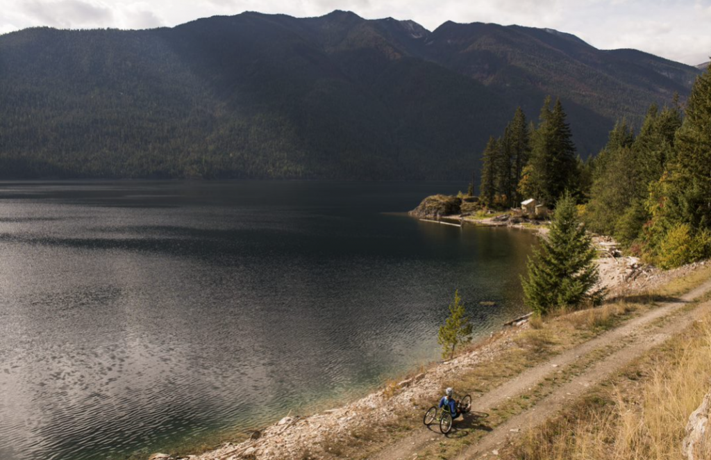
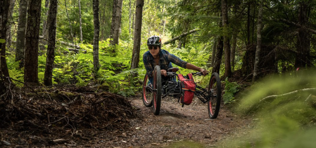
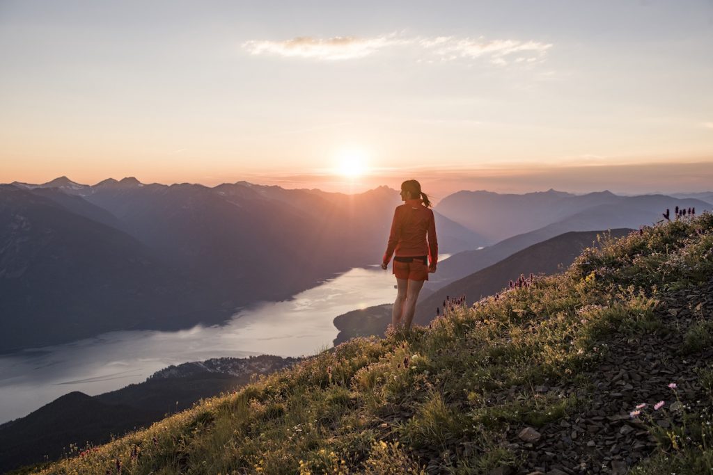
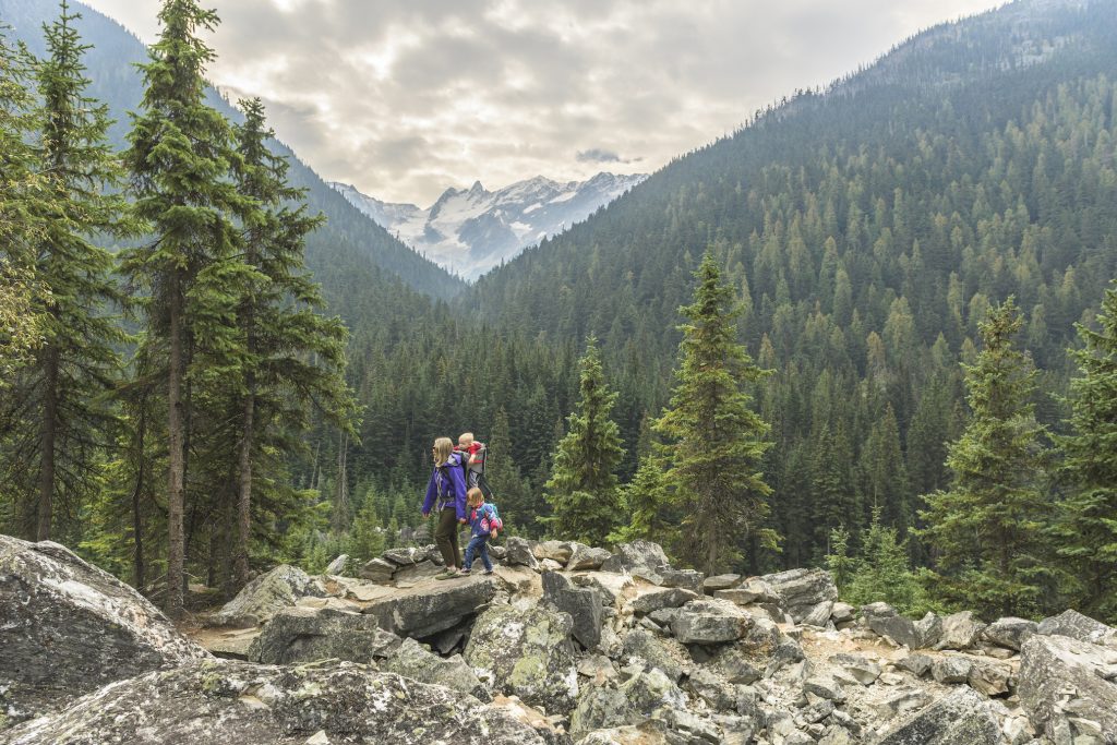
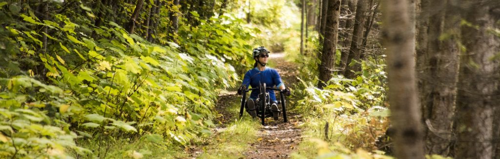
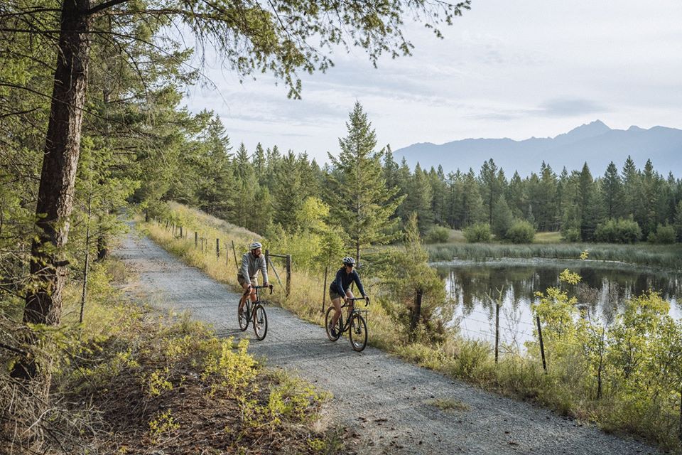
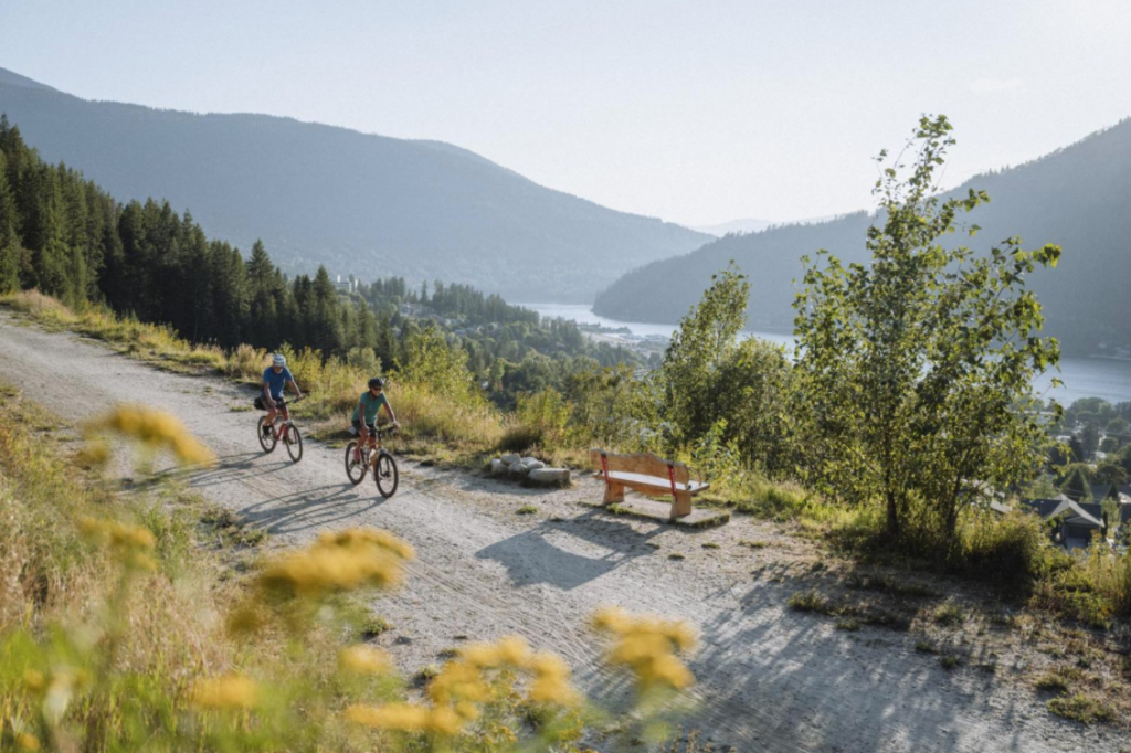
Today you can enjoy these beautiful trails where once ‘railway lines‘ shaped history. Here in the Kootenays, you can hike, pedal, roll and ski – all the while embracing the glorious scenery (with chance view of wild encounters), as you traverse these family-friendly routes.
CRANBROOK | KIMBERLEY
Chief Isadore Trail
39-km: Cranbrook to Wardner
~ Built by CP Railway Line in the late 1900s
~ Trail: Easy
With recent gravel resurfacing the track bed is a pleasant and scenic ride or hike. The trail follows interesting rock bluffs, open grasslands, streams, ponds, marshes, varied forest settings and at times beautiful views of the Canadian Rockies, as well as the Kootenay River. This portion of the trail is part of the Trans Canada Trail.
Northstar Rails to Trails
26-km: Cranbrook to Kimberley
~ Built by CPR in 1899
~ Trail: Easy/Moderate
This 100% paved rail line connects Kimberley to Cranbrook. The long flat stretch just south of Kimberley has amazing views of the Canadian Rockies. You can shorten this trip and eliminate the ‘big climb’ just north of Marysville (south Kimberley) by starting at Highway #95A junction in Marysville. The bridge that crosses the St. Mary River is roughly the halfway point between the two cities and is the ‘lowest point’ of the trail. Many people enjoy a great ride from either city with beautiful views and a mixture of up and down hill riding, trekking or skiing.
CASTLEGAR
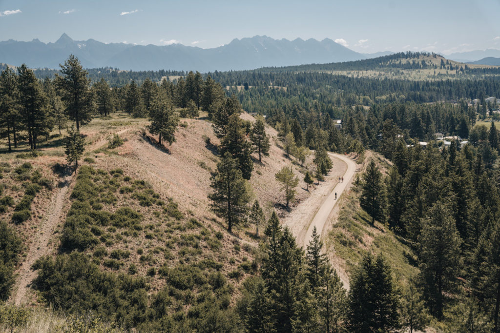
Columbia & Western Rail Trail
85-km: Castlegar to Christina Lake
~ Built by the Columbia & Western Railway in 1896
~ Trail: Moderate
The Trail rides along the abandon CPR from Castlegar to Midway where it joins the famous Kettle Valley Railway Line in the Thompson Okanagan region of BC. The line was constructed to a magnificent standard, with finely-crafted quarried stone culverts, retaining walls and bridge abutments. Several massive steel trestles span deep ravines and substantial stone retaining walls secure the rail-bed to the precipitous terrain. There is a sequence of short tunnels which culminate at the entrance to the impressive 912-meter Bull Dog Tunnel, where the railway abruptly turns away from the lovely Lower Arrow Lake valley.
Old switchbacks in the vicinity of the tunnel traced out the provisional railway over the mountain spur during tunnel construction. The summit of the grade is at Farron; from here the railway starts its descent to Christina Lake, passing by the Verigin Bomb Monument and under the impressive Paulson highway bridge. It is also part of the Trans Canada Trail.
NAKUSP
Nakusp Rail Line
46-km: Nakusp to Summit Lake
~ Built by the Nakusp & Slocan Rail Company in 1893
~ Trail: Easy
Once the heart of the Nakusp Line railway, an ascending path now guides you from Nakusp to Summit Lake. Nestled in the inviting valley bottom strip, this former railway boasts a 2% grade climb towards Summit Lake. The opening six kilometres dive you straight through the lively heart of Nakusp town, past sprawling rural plots and the Nakusp Centennial Golf Course. As you approach the shores of Summit Lake, perched at a 765-meter elevation, you’ll find the vista transforms itself. Ancient mountains circling the lake, with an opportunity to see mountain goats, bears, deer, and elk – an unforgettable sight.
NELSON
Great Northern Rail Line/Salmo-Troup
48-km: Nelson to Salmo
~ Built by the Spokane Falls & Northern Railway in 1893
~ Trail: Easy
Also known as the Salmo-Troup Rail Trail, the trail is perfect for a family outing. This rail to trail track offers easy riding, beaches along the way, trestles and some lovely views of the area.
NEW DENVER
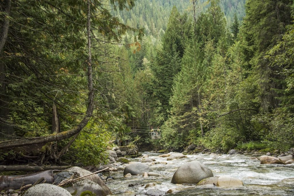
Galena Trail
13-km: New Denver/Rosebery to Sandon/Three Forks
~ Built by the Nakusp & Slocan (N&S) Railway in 1895
~ Trail: Easy
The trail features natural wonders, rock slides, steeper drop-offs, bridges and a cable car. Hook your bike onto the small cable car that crosses Carpenter Creek at the old Alamo mine site, where you can see the remains of the old concentrator. Uphill from the concentrator is a derelict old house.
SLOCAN VALLEY
Slocan Valley Rail Trail
50-km: Crescent Valley to Slocan
~ Built by the Nakusp & Slocan Railway in the 1880’s
~ Trail: Easy
Between Crescent Valley and Slocan Lake, there are seven bridge crossings the Slocan River. The bridges are a great connection from the SVRT if you want to expand your ride/trek/ski. Each offers a chance to explore more of the riches of the Slocan Valley.